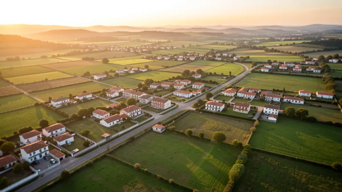
In five years, 7,049 hectares have been georeferenced, with the contribution of 3,962 citizens. Analysis by parish shows higher territorial execution in São João de Loure e Frossos (62%), followed by Alquerubim (59%), Ribeira de Fráguas (50%), Branca (48%), Albergaria-a-Velha e Valmaior (45%), and Angeja (42%).
Compared to the 11 municipalities in the Intermunicipal Community of the Aveiro Region, Albergaria-a-Velha stands out as the 3rd municipality with the most finalized georeferenced graphical representations (RGG) and the 4th in the percentage of georeferenced matrices. These results highlight the Municipality's work and the collaboration of property owners and citizens.
BUPi is a strategic simplified cadastre tool aimed at a more complete understanding of the territory, facilitating its management and the identification of property owners. It also contributes to the valorization and conservation of the national territory, making citizen collaboration essential.
Since October 1st, the creation of RGG at the BUPi Office by qualified technicians incurs a fee of 15 euros per RGG up to the 9th, and 10 euros from the 10th onwards. The online process on the national BUPi platform remains free, fast, and requires no travel. Residents can consult the necessary steps online on the Municipal Council's website.
All citizens can consult the RGGs for free on the Public Map of BUPi.