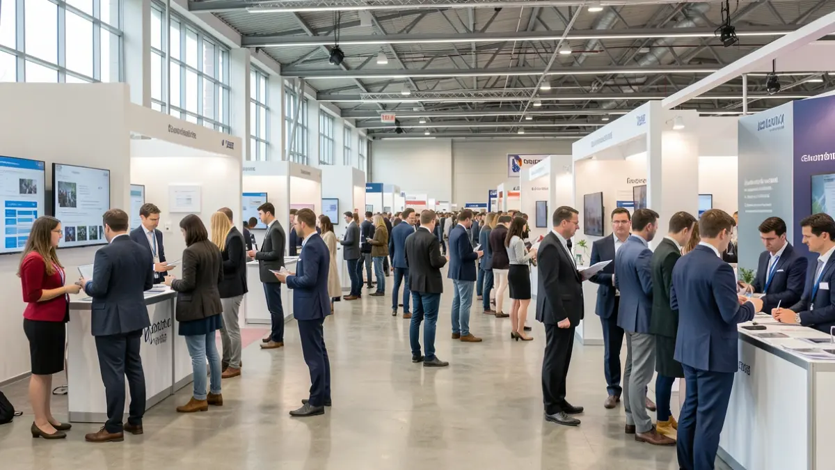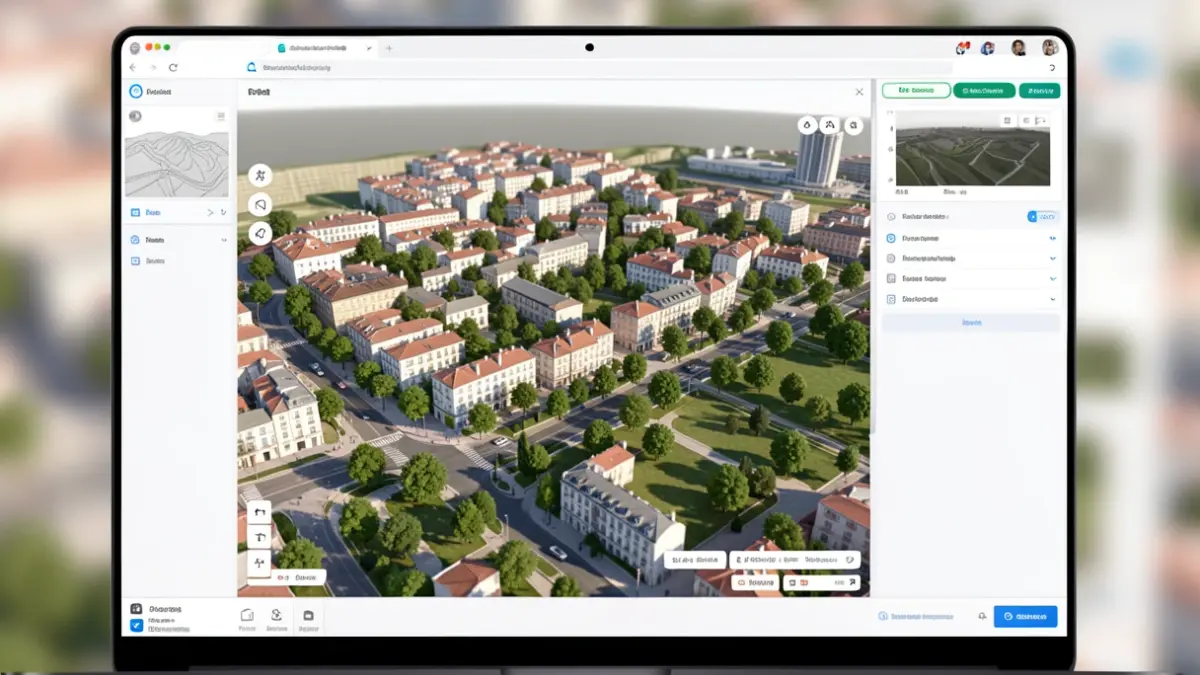
The public presentation took place in the Noble Hall of the Paços do Concelho, as part of the World Urbanism Day commemorations. The session was attended by the president of the Coimbra Municipal Chamber, Ana Abrunhosa. It included a presentation by architect Florindo Belo Marques on BIM (Building Information Modeling) and its associated challenges, followed by a live demonstration of the new Geographic Portal by architects Guilherme Murta and Rui Campino, engineer Virgínia Manta, and the team from the Division of Geographic and Cadastral Information.
The new Geographic Portal aims to simplify the consultation of municipal information with territorial relevance, consolidating it into a single digital space. This centralization allows for a simpler and more integrated understanding of the municipality, organizing geographic information on its own platform rather than scattered across different sources. The system also enhances the municipal services' capacity to cross-reference and utilize territorial information in planning and management processes, contributing to more informed decisions.
Among the new features is the three-dimensional visualization of the territory, which allows for a better understanding of the relationship between the terrain, buildings, and trees. The tool also enables the integration of digital project models and the exploration of light and shadow analyses, supporting the assessment of urban interventions and providing a more complete reading of the impact of proposed solutions on the territory.
The new Municipal Geographic Information System represents a step forward in modernizing the tools used by the Municipality to organize, consult, and provide information about Coimbra. The initiative was part of the municipal celebrations for World Urbanism Day, highlighting the importance of territorial knowledge for city planning and more informed municipal management.
The Municipal Geographic Information System is available through the Coimbra Geographic Portal, in the SIG (Geographic Information System) dedicated area on the Municipal Chamber's website. Direct access is available via the link: www.cm-coimbra.pt/areas/viver/urbanismo/sig-municipal.