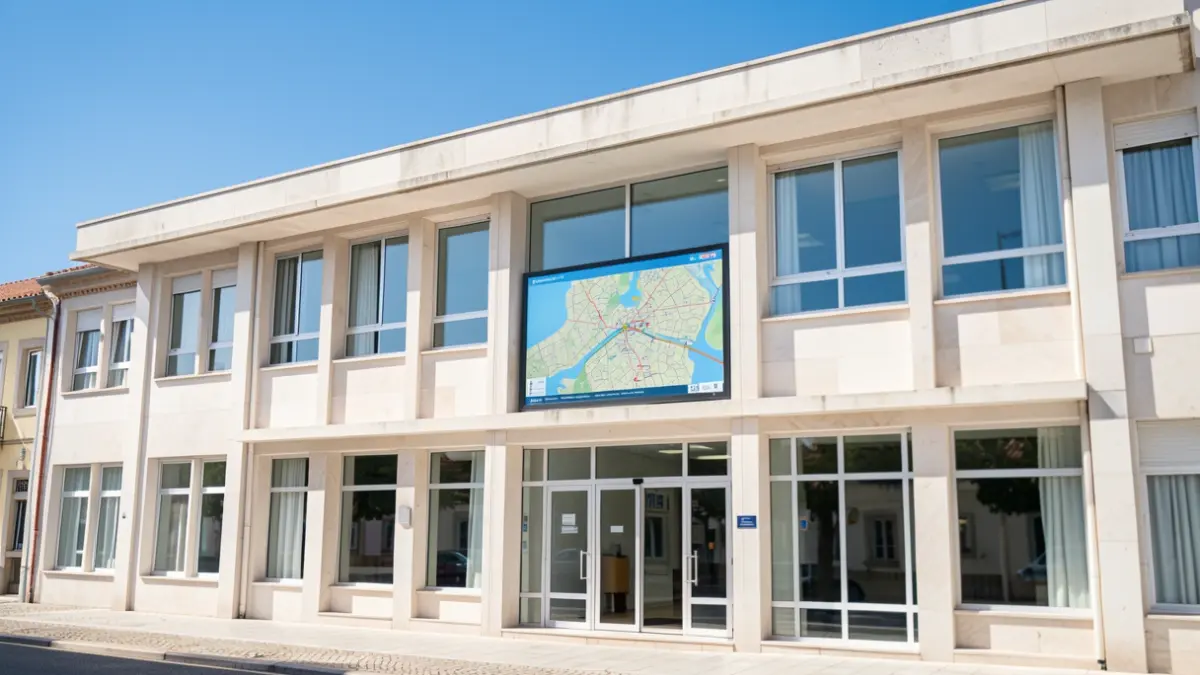
The presentation session took place at the StartUp Barreiro auditorium and was led by technicians from the municipality's Urbanism department. The new platform aims to facilitate the consultation of various content related to the territory in a simpler, more intuitive, and accessible way for citizens, businesses, and other interested parties.
Through the Geoportal, users can explore information on cartography, urban planning, facilities, heritage, territorial projects, and other georeferenced content. This tool is designed to simplify the consultation and interpretation of Barreiro's territorial reality.
The Municipal Geoportal serves as a tool to support territorial knowledge, analysis, and management. Its primary objective is to ensure the maintenance of a quality service by focusing on the development of Geographic Information Systems (GIS), innovative territorial analysis methodologies, and continuous improvement of the information provided.
With this initiative, the Municipality reinforces its commitment to digital transformation and the dissemination of public information, promoting greater transparency and bringing citizens closer to the territory where they live, work, and conduct their activities.
The new Geoportal is now available for consultation at: https://geoportal.cm-barreiro.pt/.