Starting today, October 1st, new conditions apply for the Georeferenced Graphic Representation (RGG) of rustic and mixed properties through the BUPi service. As established by Decree-Law No. 87/2026, the period of free service has ended, and the following values will now be applied per property:
- €15 per property – up to the 9th representation carried out;
- €10 per property – from the 10th representation onwards.
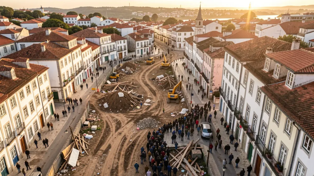
RGG is a procedure that allows a property to be located on the territory and its boundaries to be represented through digital cartography. This process contributes to a more accurate identification of properties and their limits, promoting a more rigorous cadastre and better knowledge and management of the territory.
The Municipality of Carrazeda de Ansiães has been providing BUPi assistance since November 2021, offering support to property owners in identifying and georeferencing their properties, as well as clarifying questions related to this procedure.
For more information or to georeference your property, please contact us by phone at 278 610 200 or by email at cadastro@cmca.pt.